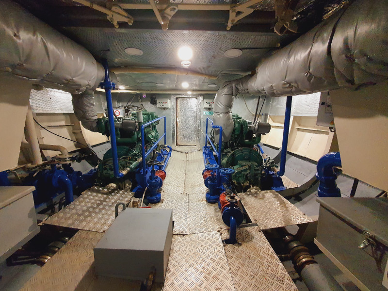
Equipped Coastal Survey Vessel
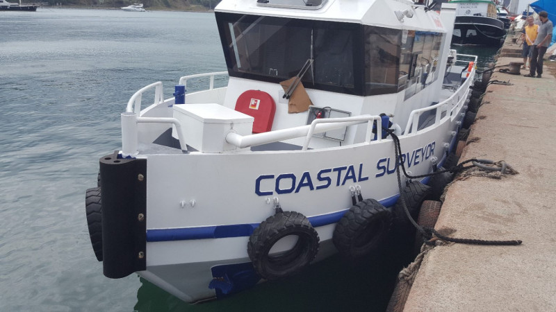
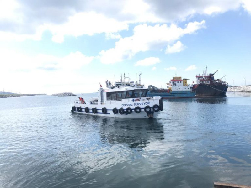
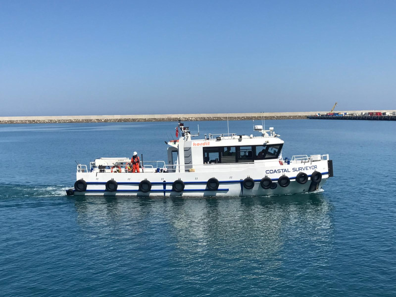
The Coastal Surveyor is a compact yet highly versatile survey vessel, renowned for its exceptional capability to perform surveys with precision and accuracy within the boundaries of national waters. With its cutting-edge design and advanced technology, the Coastal Surveyor is designed to meet the demanding requirements of hydrographic, geophysical, geological, and oceanographic surveys.
There are 6 easy cable route made for tow fish operations, and other installations such as over the side. A smart multibeam and sensor pole is available at the front that makes it a perfect choice for a survey vessel, such as over the side system installation.
Features:
• Designed for hydrographic, oceanographic and geophysical surveying at coastal zones
• Crane 5 tons, 500 kg @ 5 m
• Power generator: Cummins 160 kV 6CT
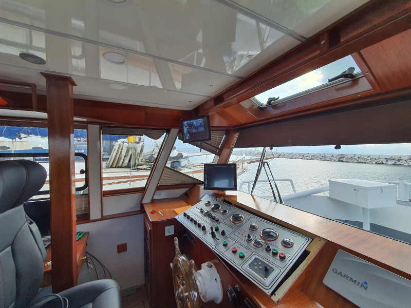
• Air conditioner (48 BTU) and heater
• Smart holes for additional wiring and cables
• 360 degree camera system
• Security alarm system and remote guard
• Bench for surveyors and seats for passengers
• Low noise ratio inside the cabinet and deck (<80 db)
• High maneuver capability for surveying
• Uninterruptable 16 sockets 230V 50 Hz.
• Free cargo deck area: 17 m²
• Maximum POB: 12
• Accommodation: 4+ bed
• Maximum speed: 14 knots
Instrumentation (optional):
• Norbit iWBMS (MBES, SSS, BS, WC, GNSS, IMU)
• Edgetech 3400, 2-16 khz FM CHIRP Subbottom Profiler with 50 m tow cable and pole mount • Klein 4900 System high grade simultaneous dual frequency side scan sonar system with 300 m tow cable and tow winch
• Geometrics G-882 Marine Magnetometer with 250 m tow cable
• Ohmex SonarMite BTX OEM Single beam Echosounder
• AML Oceanographic Base X SVP (SV, CT & D)
• LinkQuest 600 Khz Acustics Current Profiler (ADCP) + Wave
• High grade fanless industrial PC for MB acquisition
• Applanix Wavemaster II INS (IMU, heading & positioning)
• Linquest Tracklink 1500 USBL (underwater positioning)
• Hemisphere VS330 GNSS RTK (heading & positioning)
Istanbul, Turkiye